
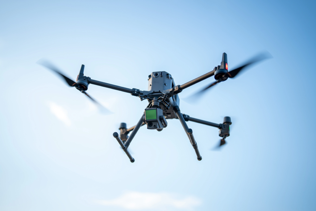
Aerial Inspections
Aerial inspections utilize unmanned aerial vehicles (UAVs) or aircraft to capture high-resolution images and data. They enhance safety, speed, and efficiency for infrastructure monitoring and asset integrity management.
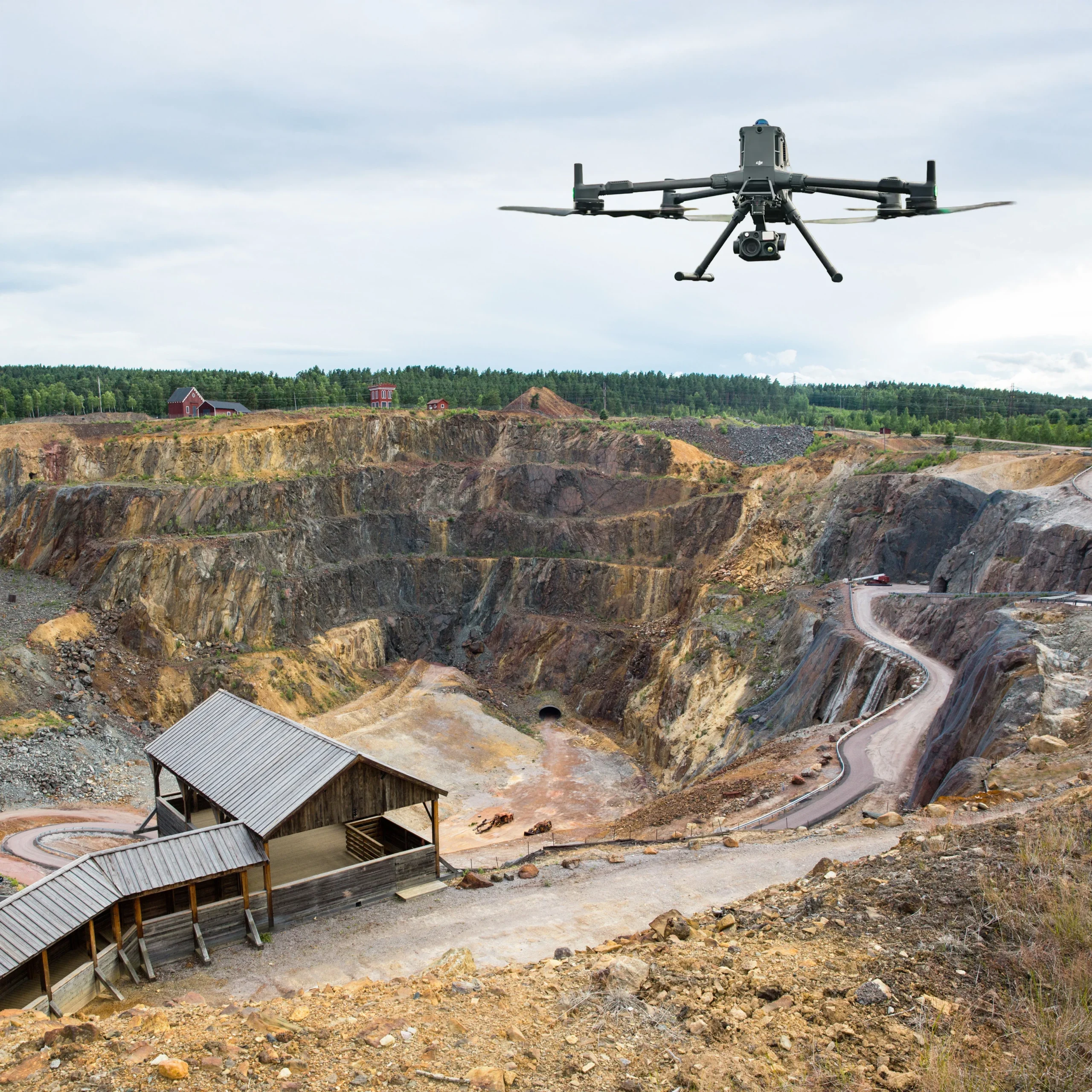
Surveying & Mapping
Surveying and Mapping involves measuring the Earth’s surface to determine positions, shapes, and boundaries. It uses instruments like Total Stations and GPS to create accurate spatial data and maps for various applications.
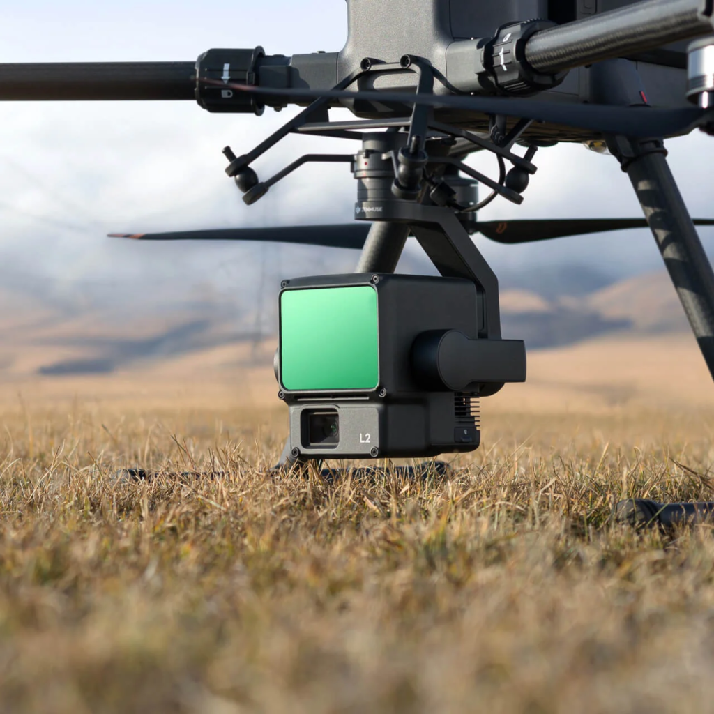
3D Modeling and Visualization
3D Modeling creates a digital, three-dimensional geometric representation of an object or scene. Visualization then uses rendering techniques to generate realistic images or animations from that model.
How We Work
Work Process
01
Step 1: Mission Planning & Data Acquisition
This involves defining the survey area, setting the flight path and altitude for optimal overlap (sidelap/frontlap), and ensuring the camera and GPS are correctly calibrated. The aircraft captures geotagged aerial photos across the entire site.
02
Step 2: Aerial Triangulation & Processing
The collected photos are imported into specialized photogrammetry software. Aerial Triangulation aligns the images using control points. The software then processes this data to generate a dense point cloud and Digital Surface Models (DSMs).
03
Step 3: 3D Product Generation & Delivery
The processed data is used to create final deliverables, such as high-resolution orthomosaic maps, detailed 3D mesh models, and precise contour lines. These products are then exported in standard formats for client use and analysis.
Our projects
We deliver precision and efficiency in every project. By choosing us, you benefit from cutting-edge drone technologyand expert data analysis that provides highly accurate results faster and safer than traditional methods.





Why choose us?
We deliver precision and efficiency in every project. By choosing us, you benefit from cutting-edge drone technologyand expert data analysis that provides highly accurate results faster and safer than traditional methods.
Our services, including rapid aerial inspections, detailed surveying, and immersive 3D modeling, translate complex reality into actionable intelligence. We minimize risk, reduce operational costs, and offer a complete spatial solutiontailored to your needs, ensuring you get the highest quality data for informed decision-making every time.
We deliver precision and efficiency in every project. By choosing us, you benefit from cutting-edge drone technologyand expert data analysis that provides highly accurate results faster and safer than traditional methods.
Our services, including rapid aerial inspections, detailed surveying, and immersive 3D modeling, translate complex reality into actionable intelligence. We minimize risk, reduce operational costs, and offer a complete spatial solutiontailored to your needs, ensuring you get the highest quality data for informed decision-making every time. Our commitment extends beyond data capture; we offer comprehensive post-processing support and customized visualizations to fully integrate the data into your existing workflows, maximizing your investment and accelerating your project timelines.

“Elevate your infrastructure and operations with our Aerial Intelligence Patterns
✓ Easy to use
✓ Beautifully designed patterns